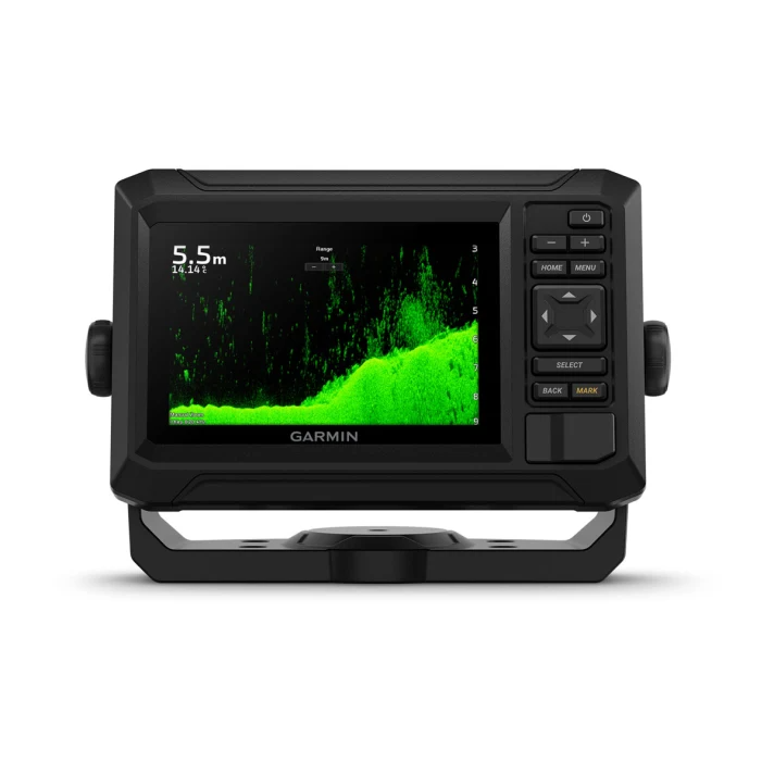
Traditional CHIRP: Good for displaying fish arches. ClearVü: Excellent for displaying fish and structure below your boat. SideVü: Excellent for displaying fish and structure to the sides of your boat.
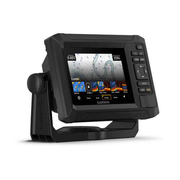
Worldwide basemap: Non-detailed map for general reference. BlueChart® g3: Detailed charts for U.S. coastal waters. U.S. LakeVü g3: Detailed mapping for lakes in the U.S. Canada LakeVü g3: Detailed mapping for lakes in Canada. Canada BlueChart® g3: Detailed charts for Canadian coastal waters.
Ready to ship in 4-6 Business day