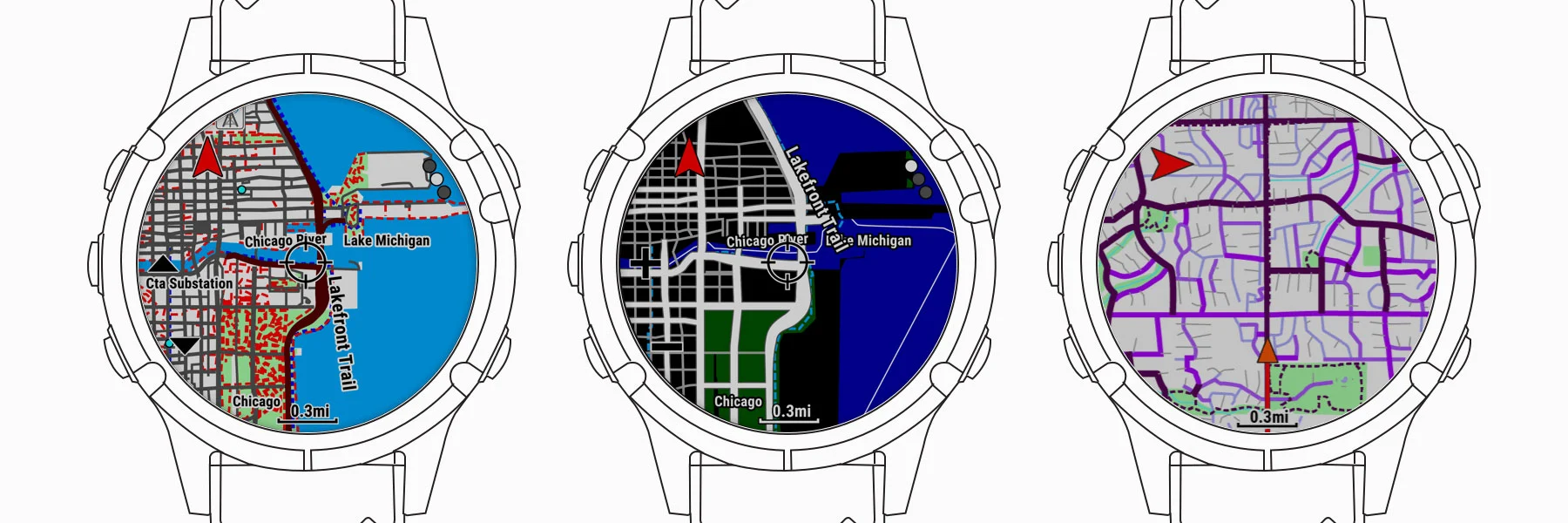
These maps offer visual popularity support and optimized map themes for various activities, so you see the information that’s most relevant to what you’re doing. When hiking, view contour lines of your surrounding terrain, including elevation data, summits, parks and geographical points. This gives you much better situational awareness, especially when you’re navigating difficult terrain. When skiing, you’ll be able to see the difficulty and run names, so you can ski with confidence. During a run, view high-contrast map data with clearly visible trails and navigation areas.